


Farming on the Edge
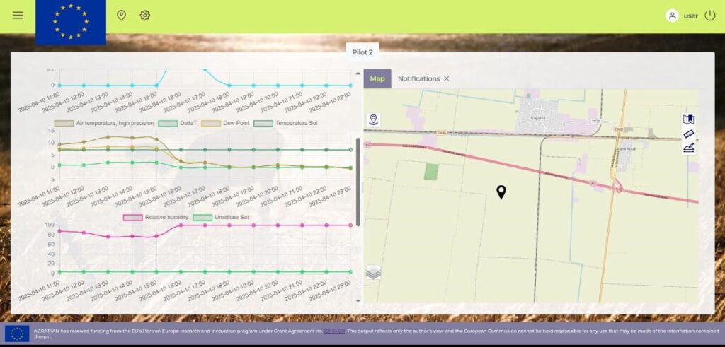
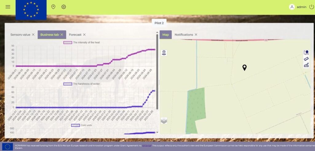
The AGRARIAN Pilot 2 focuses on field crop monitoring through an integrated edge farming infrastructure that leverages a dynamic, programmable environment combining satellite, aerial, and ground data. The core innovation lies in the development of advanced algorithms that provide real-time recommendations and alerts for critical agricultural activities such as sowing, irrigation, pest control, and treatment applications. These algorithms use weather station data, soil parameters, and crop-specific growth models to trigger actions that optimize yield and resource usage.
Key technologies include soil heat accumulation models for determining sowing windows, DTT and HTT models (daily and hourly thermal time) for growth stage monitoring, and pest development forecasting based on GDD (growing degree days). For irrigation, the system calculates crop evapotranspiration and compares it with soil water levels to provide precise watering alerts. All computations are dynamically adjusted using sensor input and weather forecasts, ensuring accuracy and relevance. The platform enables data-driven decisions that increase crop efficiency while reducing water and chemical inputs.
Accurate calibration of soil temperature and moisture sensors for diverse field conditions.
Integration of real-time weather forecasts with locally collected data.
Designing crop-specific models adaptable to varying regional practices.
Ensuring farmer-friendly interfaces despite the system's technical complexity.